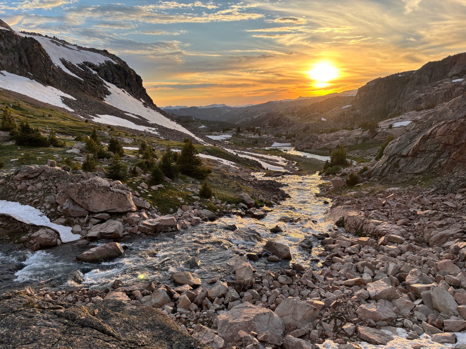
With our summer packed from May to September with trips, camps, sports, and other activities, it was hard to make time to get into the backcountry. I found a few days in mid-July to take Sam, Hannah, and some friends on a four-night trip to the Beartooth Mountains, part of the almost one-million-acre Absaroka-Beartooth Wilderness immediately north of Yellowstone National Park. The range is home to Montana’s highest point, remote lakes, great fishing, and grizzly bear habitat.
Some of our group flew into Bozeman, and the rest flew into Billings. Both are fine and a few hours’ drive from the trail. After a stop in Red Lodge for hamburgers, isobutane, and a few other supplies, we headed up the Beartooth Highway. The road itself is perhaps the most spectacular alpine road in the country – easily on par with Trail Ridge Road in RMNP or Going-to-the-Sun Road in Glacier NP. We decided to start our hike-in at the Clay Butte Trailhead, which is just off the Beartooth Highway at about 9,600 feet. Going from sea level to altitude can be tough, and everyone in our group had taken medication to prevent altitude sickness. After an hour of repacking our backpacks and bear canisters and applying lots of DEET (the mosquitoes were the only downside of the trip), we headed north on the Clay Butte Trail through meadows and patches of forest toward the wall of snowy mountains on the horizon.
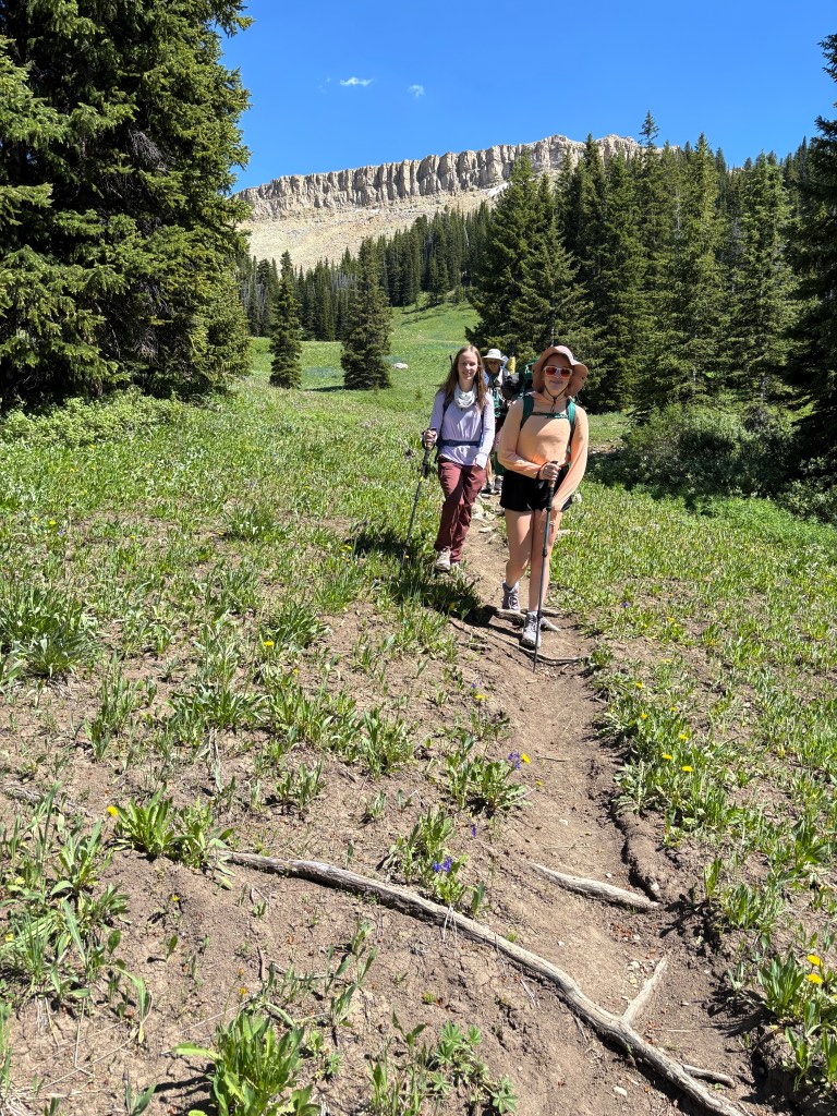
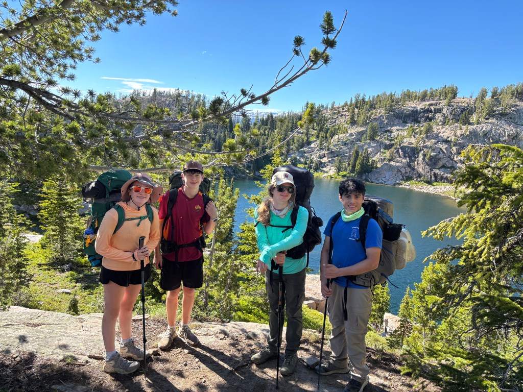
At Native Lake, we turned west for a few miles on the Beartooth High Lakes Trail and found a nice campsite at an unnamed lake just south of the Wyoming/Montana state line, which was about four and a half miles from the trailhead.
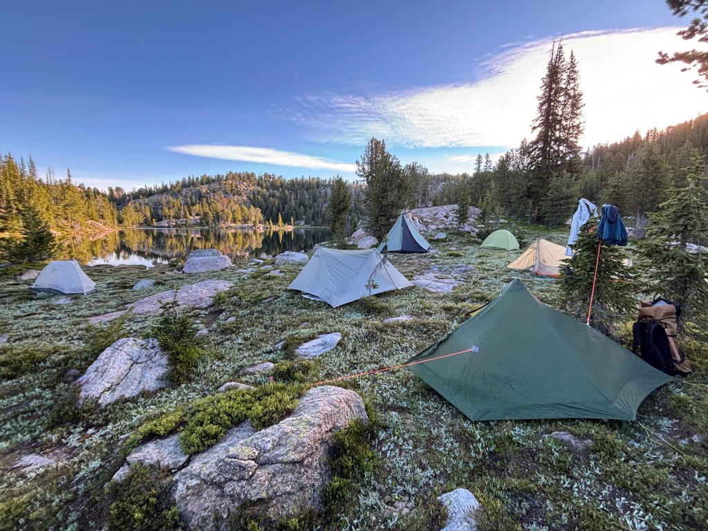
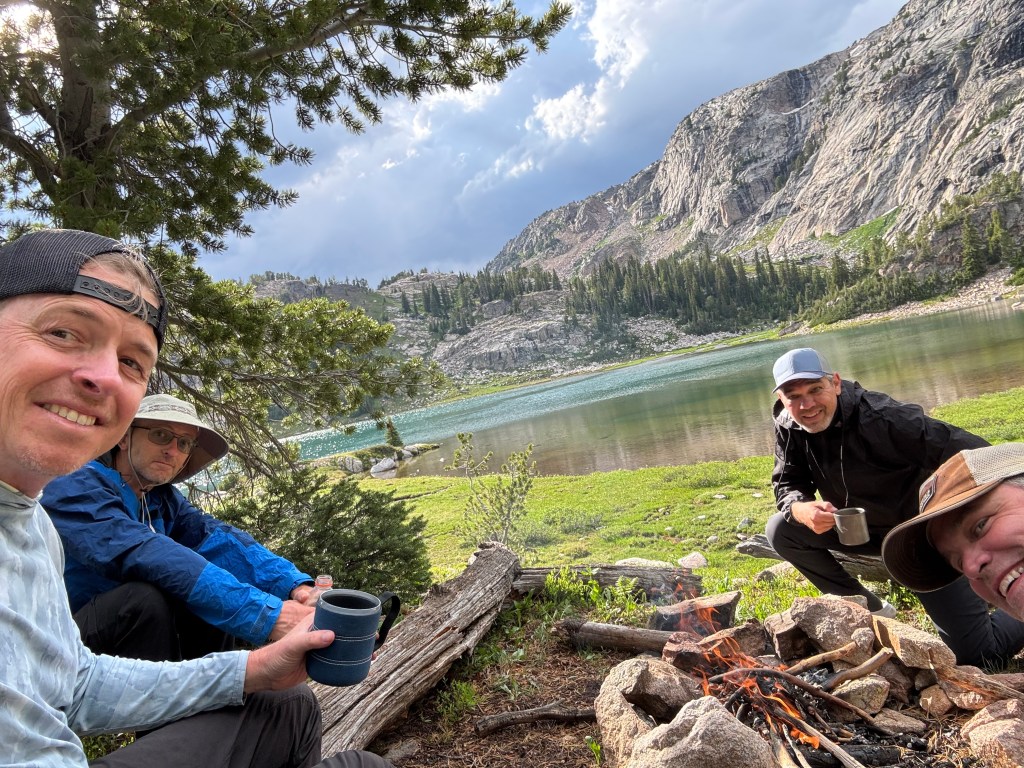
Our camp kitchen was on bench overlooking the lake, and we made a fire and cooked foil packs the first night.
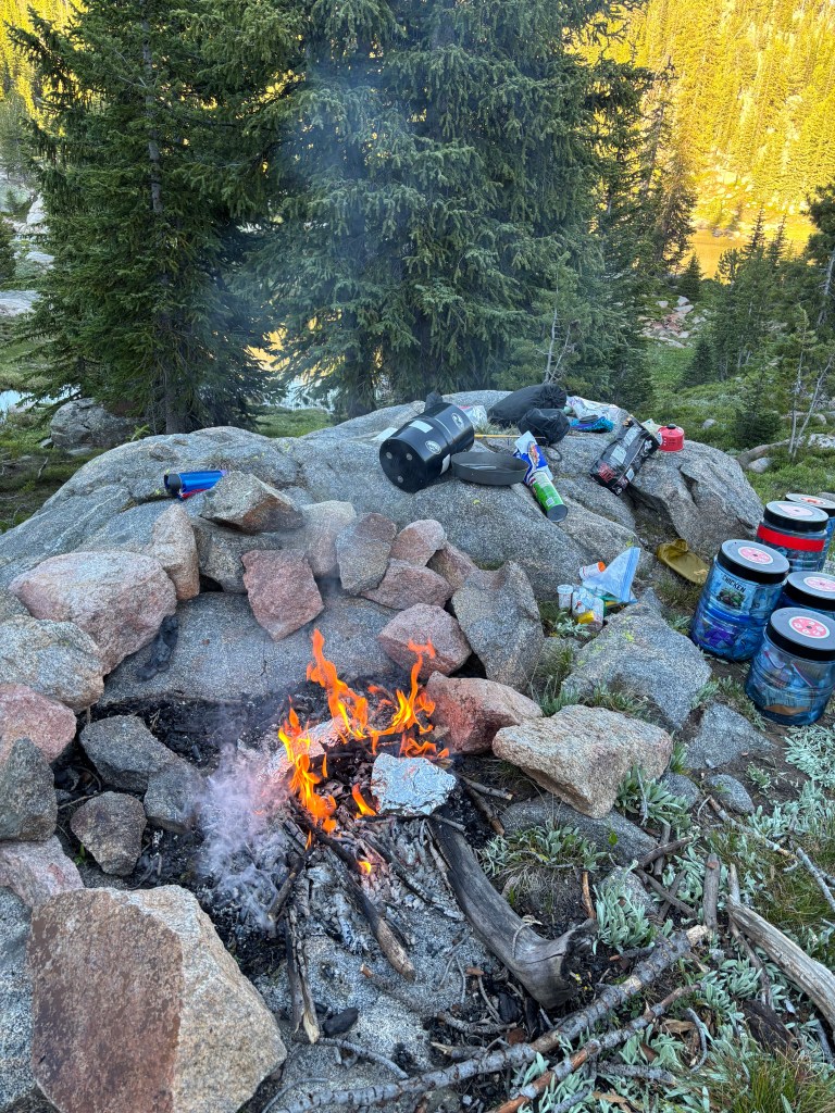
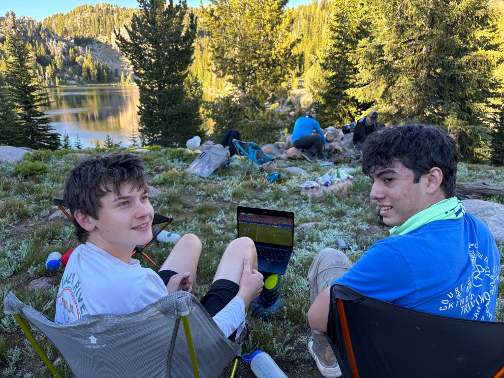
As the World Cup was going on, Sam chose to carry the Starlink, a computer, and a heavy battery but was able to live stream the game.
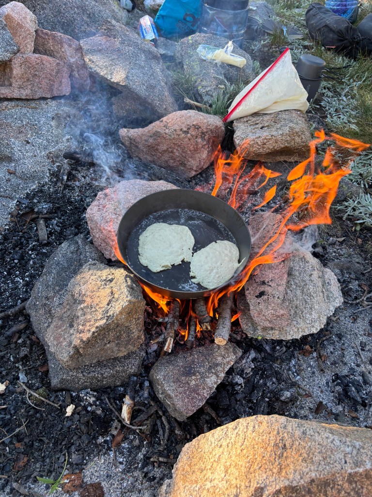
The next day, we had a slow morning to acclimate and decided to cook pancakes on the Banks Fry Bake before heading out.
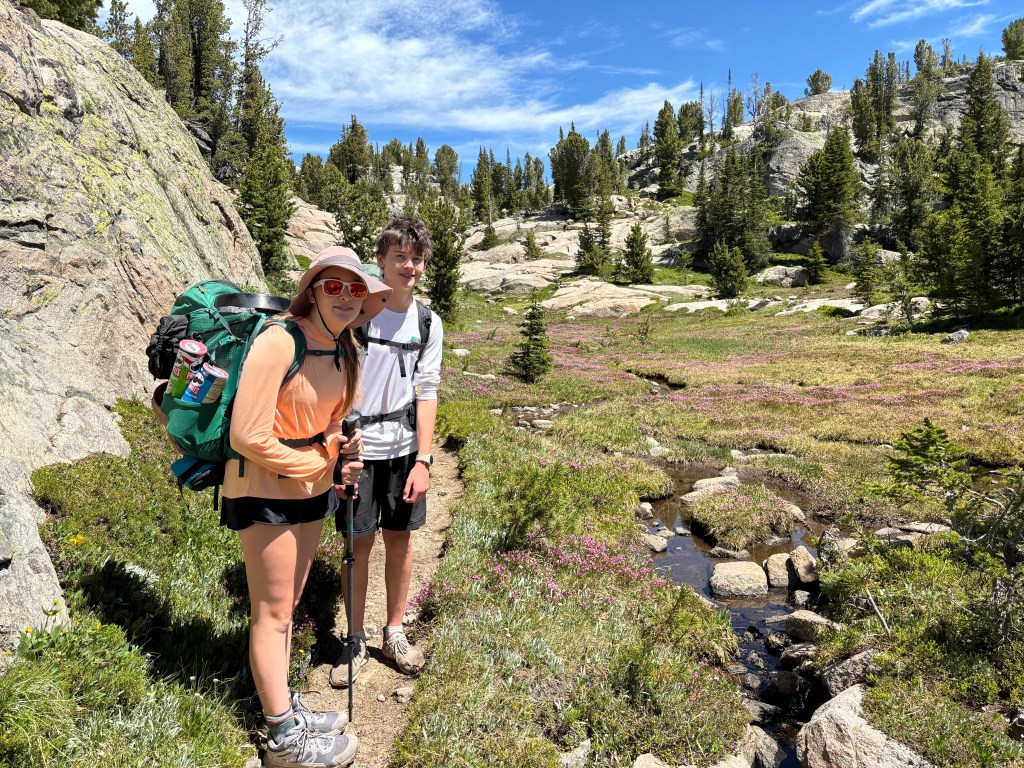
We continued west along the trail for a few miles, crossing into Montana and the wilderness boundary. The trail undulates but slowly climbed out of forest into open country, with large granite bedrock and opena meadows filled with wildflowers.
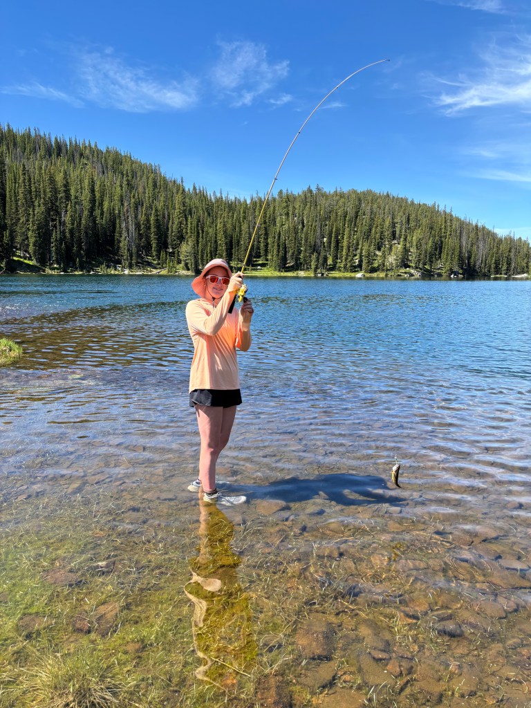
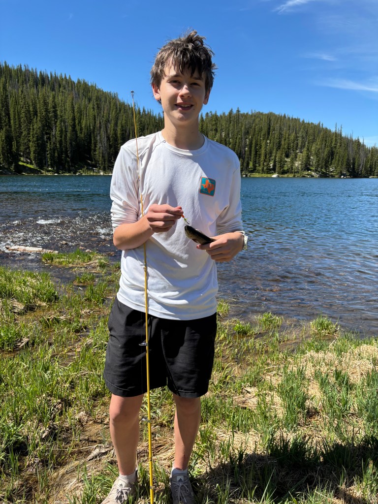
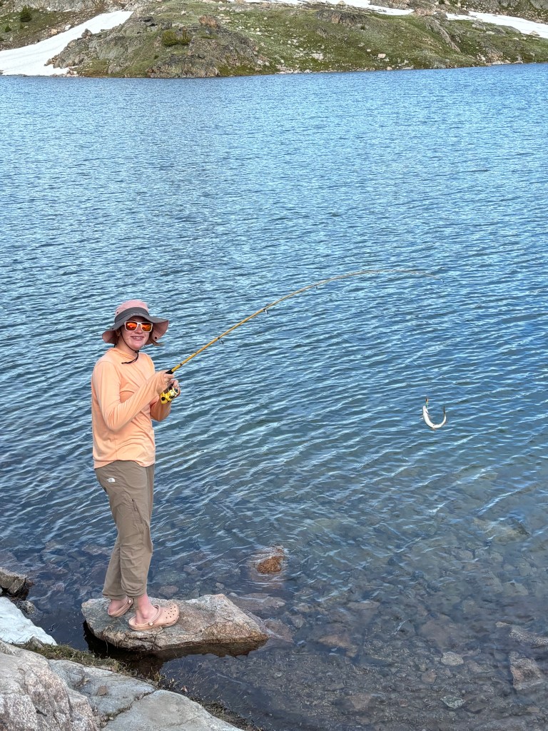
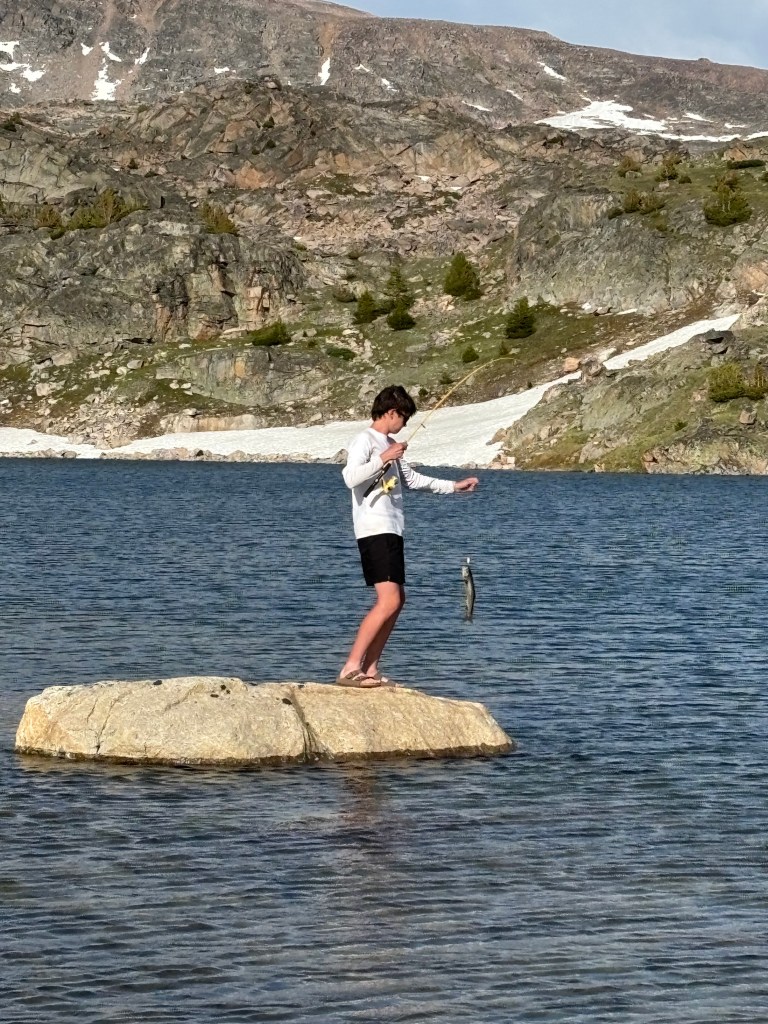
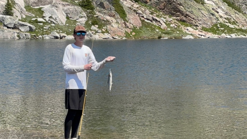
At the North Hidden Lake outlet stream, we left the trail and headed north. We would be off-trail for the next two and a half days. Throughout the trip, we had good luck fishing for trout. Hannah and Sam each used a telescoping spinning rod, and I mainly used my trusty 3-weight fly rod. Most of the lakes held small cutthroats, but a couple held larger brook trout.
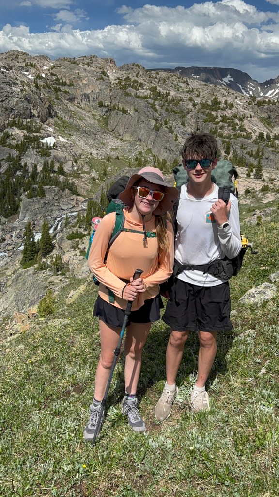
As we climbed, the trees disappeared, and patches of lingering snow became more common. We had to backtrack a few times as routes that appeared passable on the 40-foot topographic map proved to be cliffed-out.
Finally, we topped out at a pass overlooking the Cloverlakes, glissaded down a snowfield and crossed a snowbridge over a stream, and found a spectacular if windy camp.
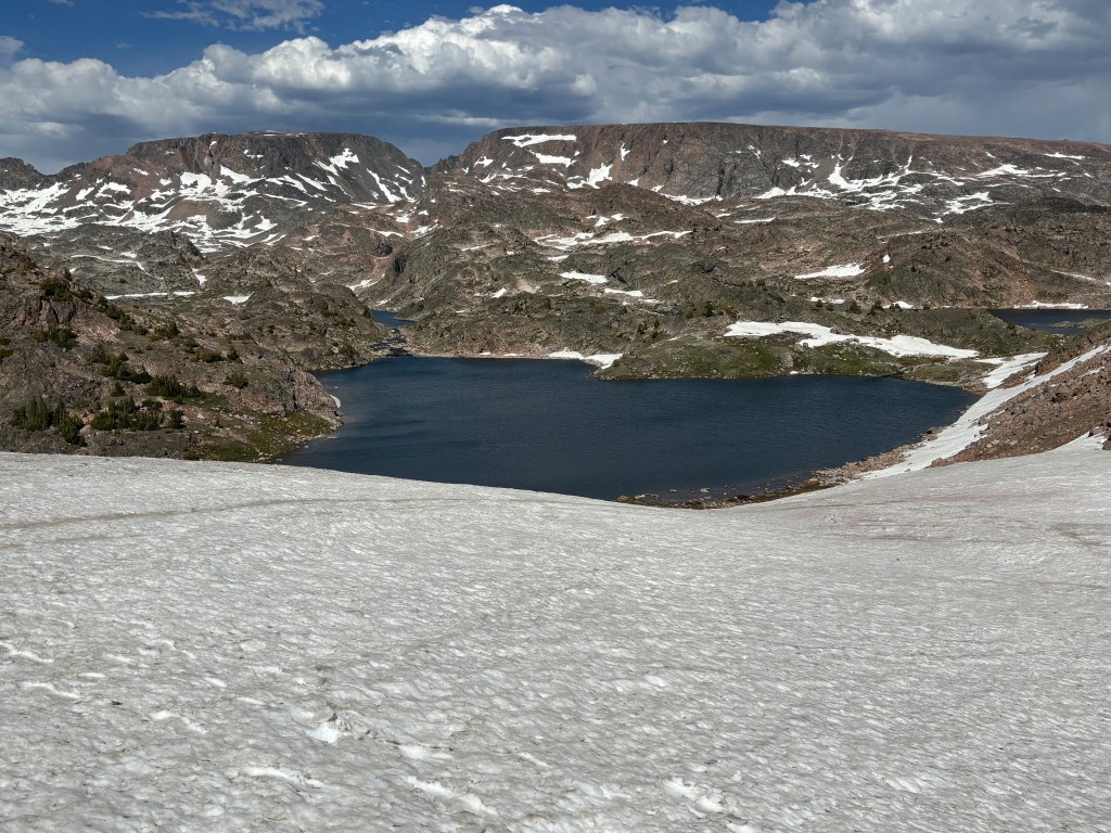
We had only covered about 6.5 miles on this day but it felt quite a bit longer.
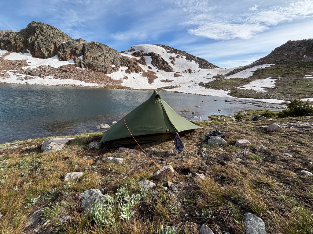
After setting up camp, we relaxed. I jumped in the water, which was probably in the 40s, and managed to stay in for about 30 seconds. The fishing in Cloverleaf Lake was outstanding, with lots of large brook trout aggressively hitting spinners.
We ate instand backpacking meals, and as the sun went down we were treated to amazing colors looking west and downhill along the path of the outlet stream.
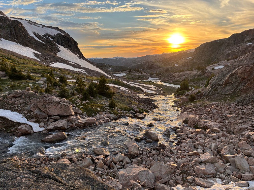
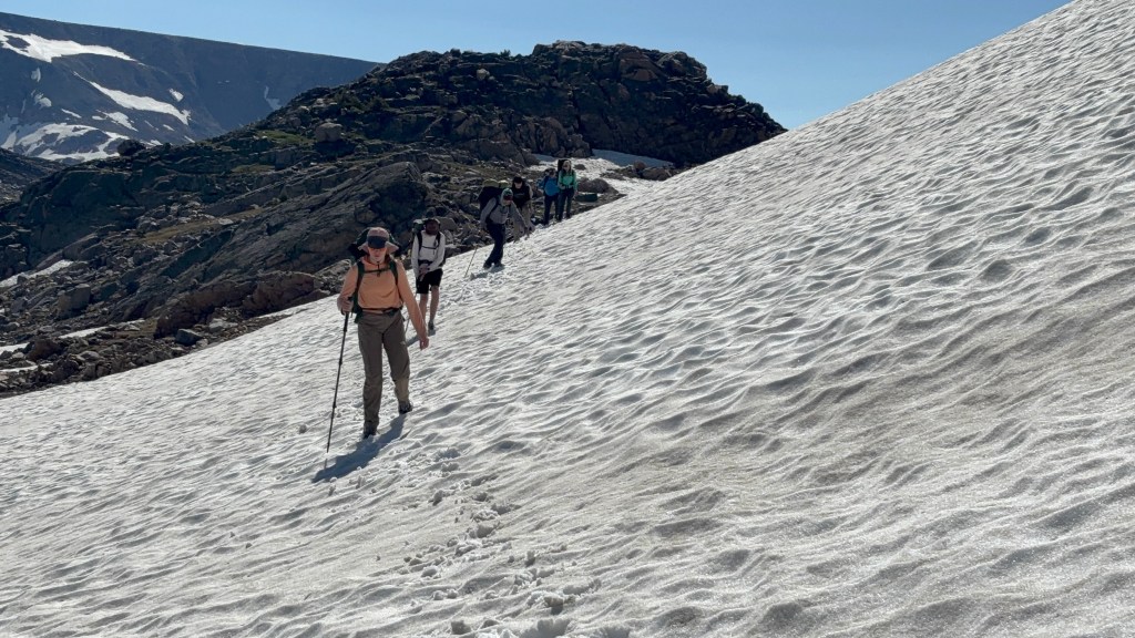
We began day three continuing north and gaining elevation. The small trees disappeared, and soon we were in a land of snow and granite.
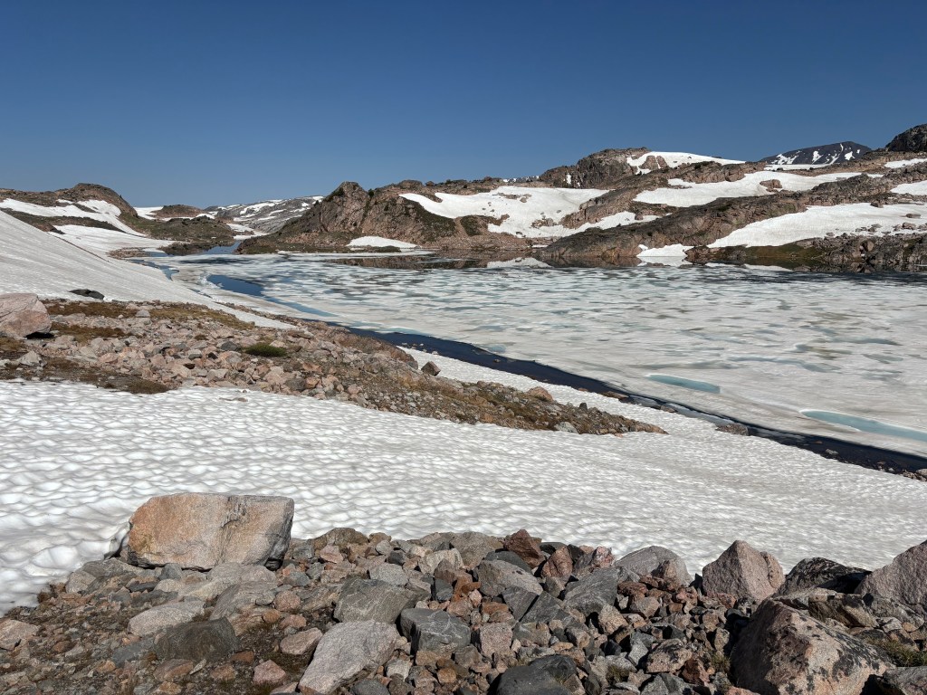
When we reached the high point of our trek, Donelson Lake at about 10,500 feet, we found the lake still 90% iced in.
We had decided against bringing crampons or microspikes, thinking (incorrectly) that the snow would be melted by mid-July. Fortunately, we found traverses across shallow-angled snow slopes as we turned west toward Maryot Lake, where we stopped for a fishing break.
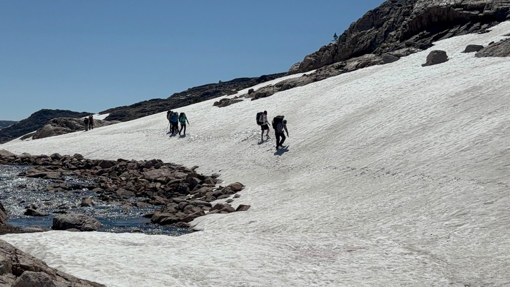
From Maryote Lake, the terrain drops quickly about 800 feet down to Crystal Lake. From the map, we were unsure whether this was a descendable hike or one with cliffs.
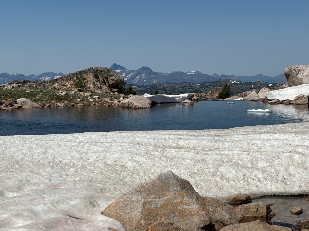
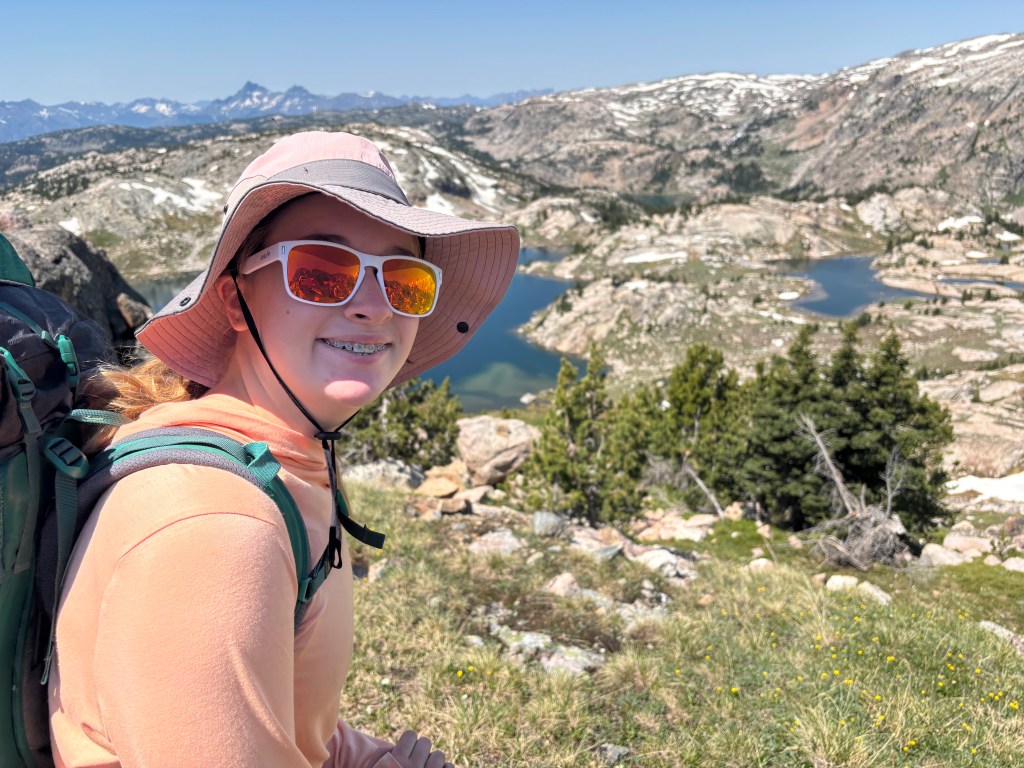
We were able to pick our way down for a lunch, swimming, and fishing break at Crystal Lake.
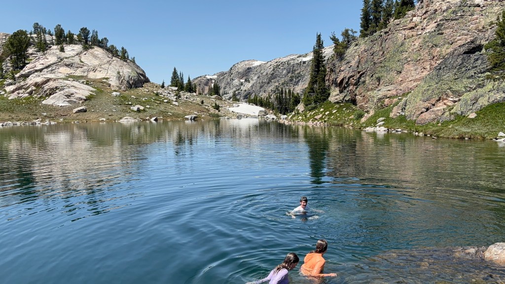
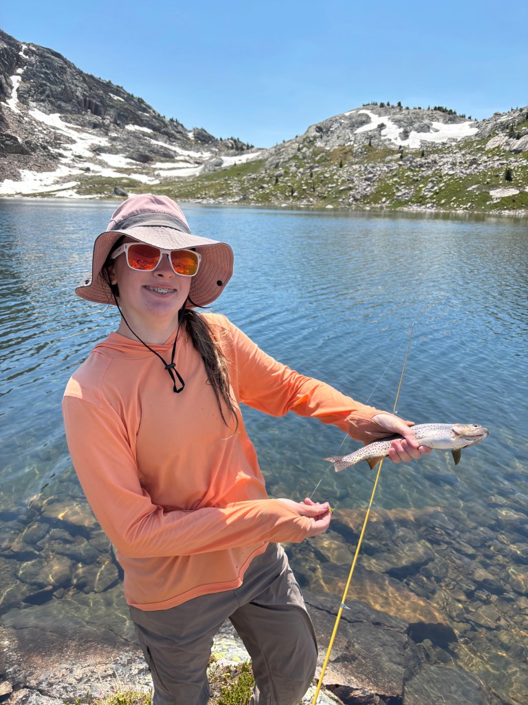
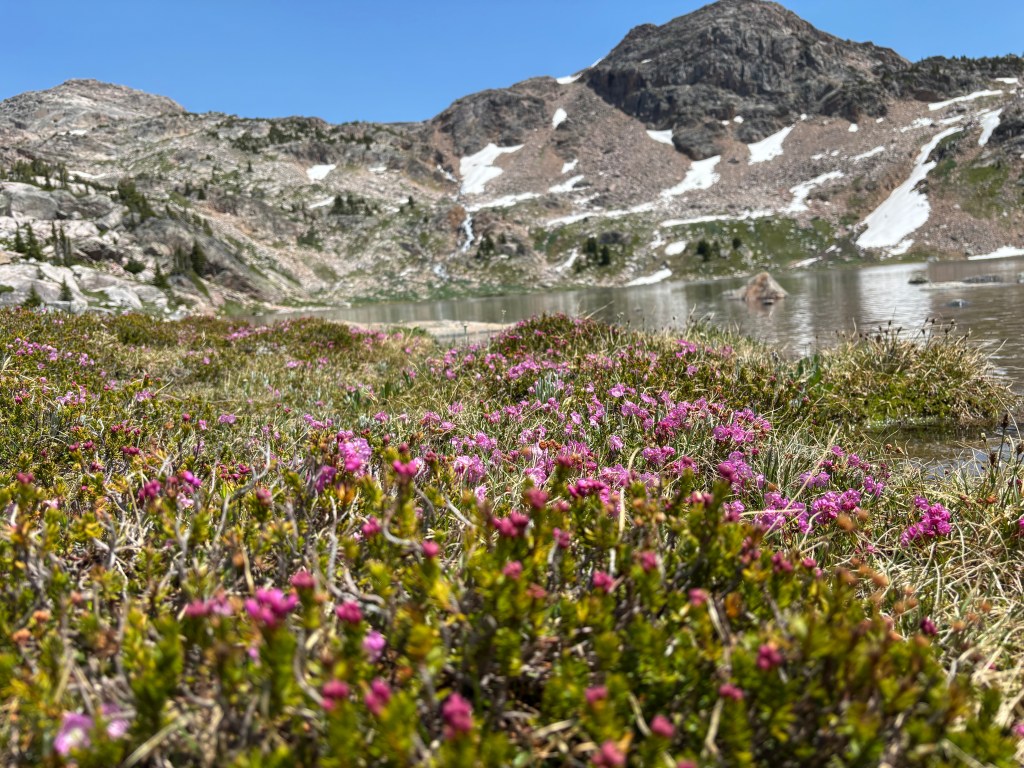
The scenery around Crystal Lake was amazing, as the wildflowers in the newly exposed tundra were blooming.
We had originally planned to camp at Crystal Lake, but because of the exposed terrain with no shade and a desire to reduce the mileage for the last day, we followed the outlet stream down to Castle Lake. There, we found an amazing camp overlooking the lake and three spectacular waterfalls. We spent the afternoon fishing and chilling. Overall, this day only covered four miles but it was a slog.
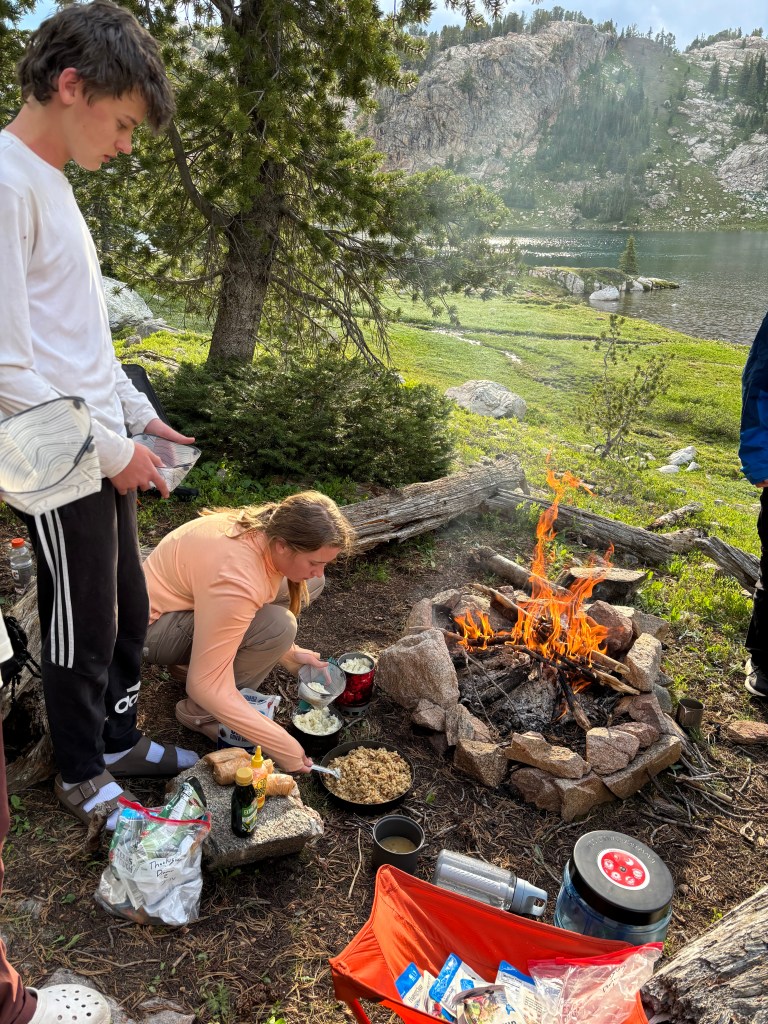
For dinner, we our favorite backcountry meal: Thanksgiving dinner with chicken packets, stove top stuffing, instant potatoes, and dried cranberries.
The next morning, we continued our descent, following Sierra Creek, the outlet stream from Castle Lake, which by then had become substantial.
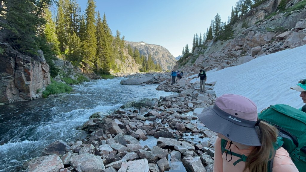
Several awesome campsites line this river. Eventually, we rejoined the trail at Green Lake, where we had to recross the creek. This was a potentially dangerous crossing with swift, thigh-high water. Using teamwork and bracing, we managed to get everyone and their packs across the river. We hustled to our last campsite in an open meadow near an unnamed lake in time to stream another World Cup game.
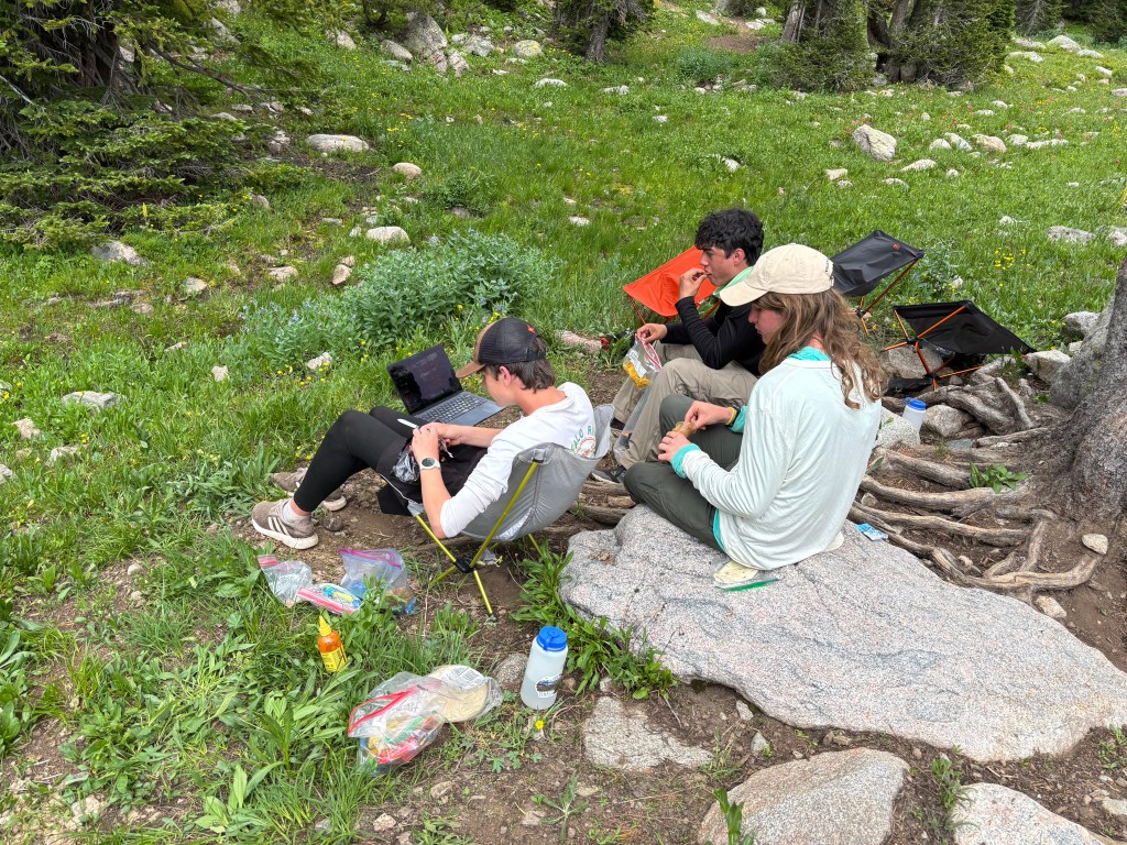
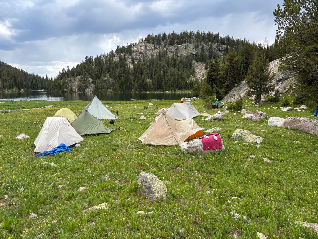
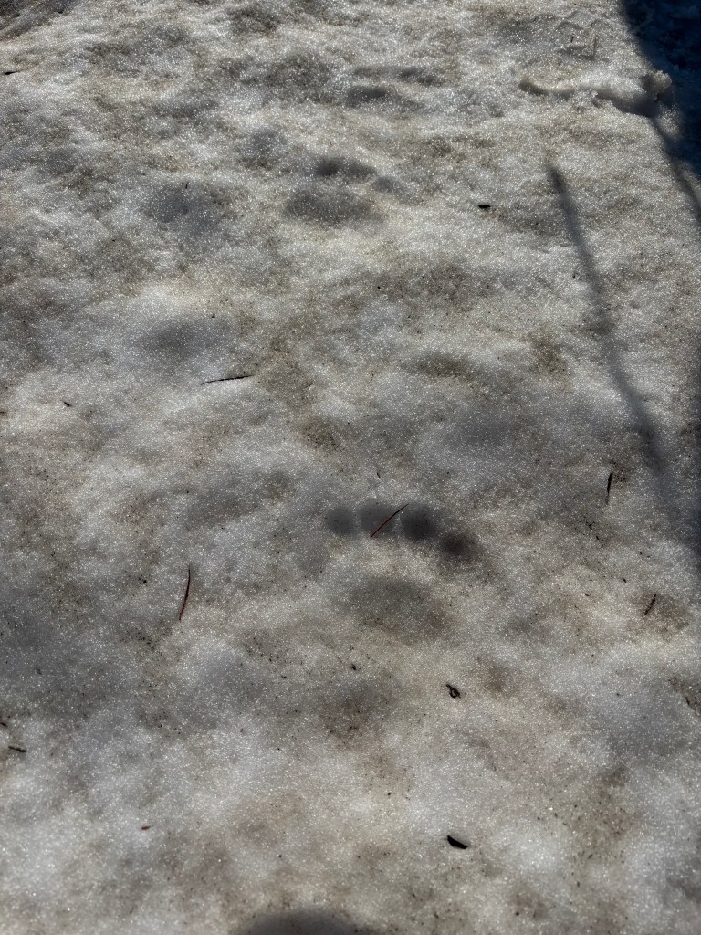
After some fishing and throwing a football around, everyone went to bed early. The next morning we left early, as we needed to be at the cars by 10 am to make our flights. The hike out was the only time on the whole trip where we found fresh bear sign.
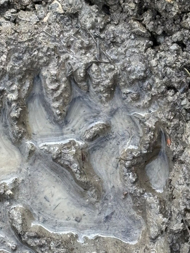
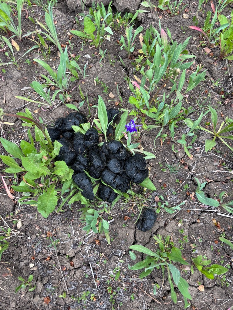
But in the end we saw no bears, and made it to the trailhead in one piece, aside from some mosquito bites.
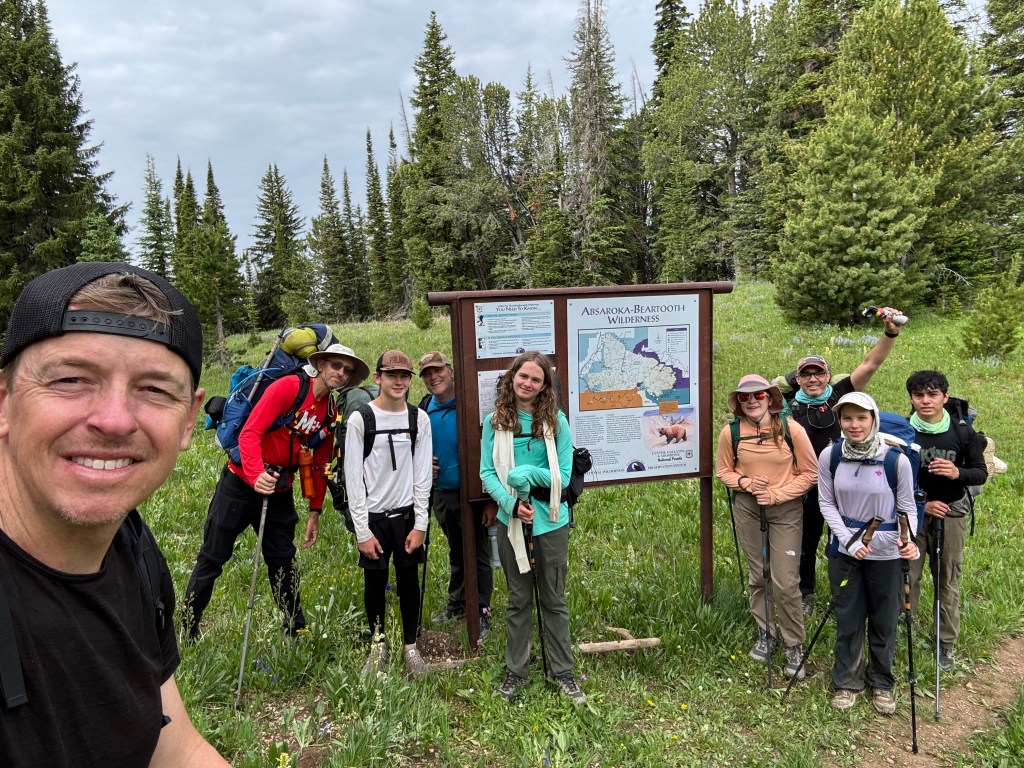
I hope to go back to the Beartooths. On this trip, we explored a tiny fraction of the wilderness area. The scenery and fishing were as good (or better) than in many of the more popular parks and wilderness areas.
I also really liked the bang-bang four-night trip. It is not too short to feel like you are out there, but it’s also not a tremendous time commitment and something that can be squeezed into a busy schedule. Most of all, I value spending time in an amazing place with my kids and some great friends. Love the Beartooths.


Chris, what wonderful experiences you are having and providing others! What a good life!
LikeLike