
Arkansas is a strong contender on the all-underrated states list. Over spring break, I was reminded about just how underrated and how close – in Texas distances – it is to home. Austin Cub Scout Pack 14 took 13 scouts and 12 parents on a two-night backpacking trip on the Little Missouri River Trail in the Ouachita National Forest. For all the boys and many of the adults, this was their first multiday backcountry trip.

Given the inherent complications of planning a trip in Texas due to limited public land and the need to be Johnny-on-the-spot to grab reservations months in advance for most destinations – the trip to Arkansas was refreshing. No crowds, no permits, clear streams, and miles of spectacular trail.
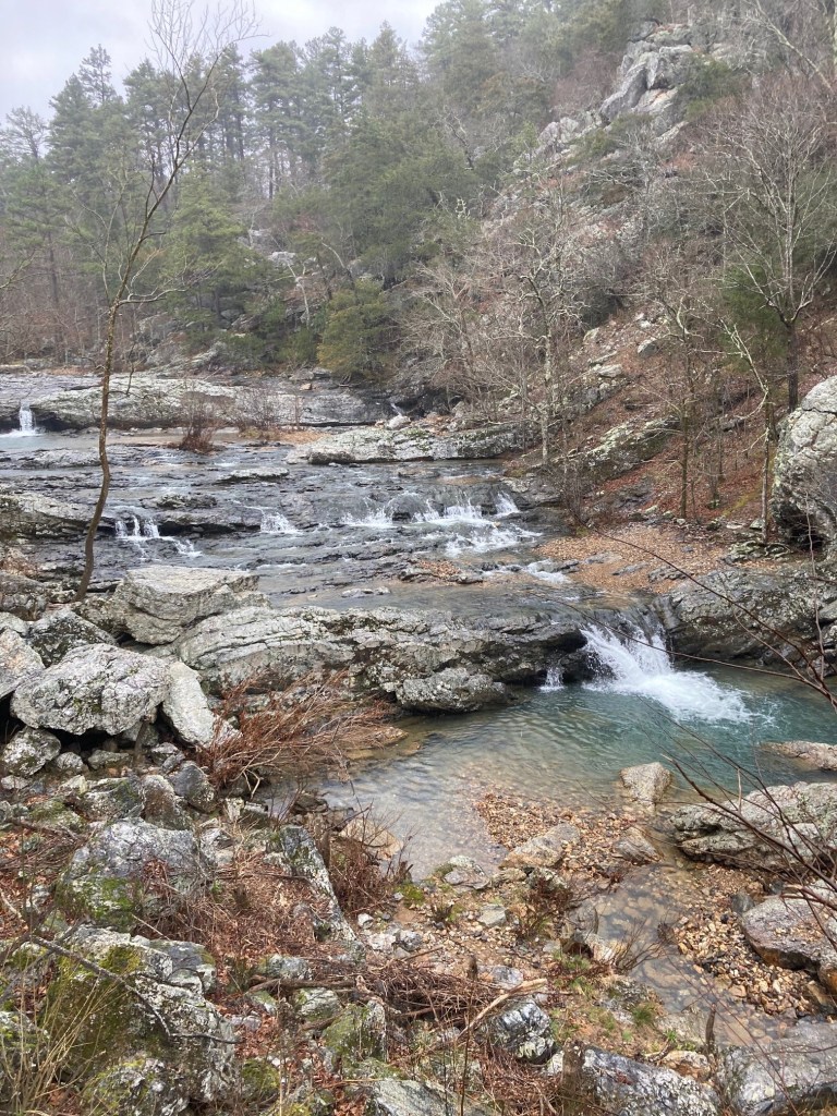
The Ouachita National Forest in western Arkansas and encompasses the ancient Ouachita Mountains and the largest stand of virgin forest in the lower 48. Outside of developed campgrounds, camping and hiking are free and require no reservations or permits. While there are hundreds of miles of trail in the Ouachitas, I was looking for something moderately challenging that a group of 11-year-old boys could complete camping two nights and carrying their own gear. The Little Missouri Trail fit the bill as it is relatively flat, has plenty of bail-out options, and includes its own entertainment in the form of a spectacular clear river.
The Ouachitas are about 7 hours from Austin, so comparable in driving time to a trip to Big Bend, Palo Duron Canyon, or the Guadalupe Mountains. Unlike those destinations where hikers must carry lots of water, water and shade are abundant and a single water bottle is sufficient.
River Crossings, Flood Risk and Alternatives – In June 2010, a flash flood on the Little Missouri killed 20 people camping in the Albert Pike campground, including many who were trapped inside their tents at night. Anyone considering an overnight trip near the river should consider the risk of flash floods, monitor the weather, and select campsites accordingly.

Hiking the Little Missouri River Trail requires fording the river many times and crossing large tributary streams. Many have reported that if the USGS Gauge at Langley is less than 4.0 feet, the river crossings are safe. We found this to be accurate. During our trip, the gauge ranged from 3.5 to 3.8 feet and the river crossings were easy for adults and manageable for 11-year-old boys with packs.
If planning a trip in the spring when thunderstorms are common, it is worth considering alternatives in case the river rises suddenly. For our trip, I had mapped out an alternate route on the Athens Big Fork Trail that we would have hiked had we deemed the river level unsafe. I also noted the locations of the forest service roads in the event we had to suddenly bail; most of the time reaching a road requires a bushwhack of ½ mile or less.
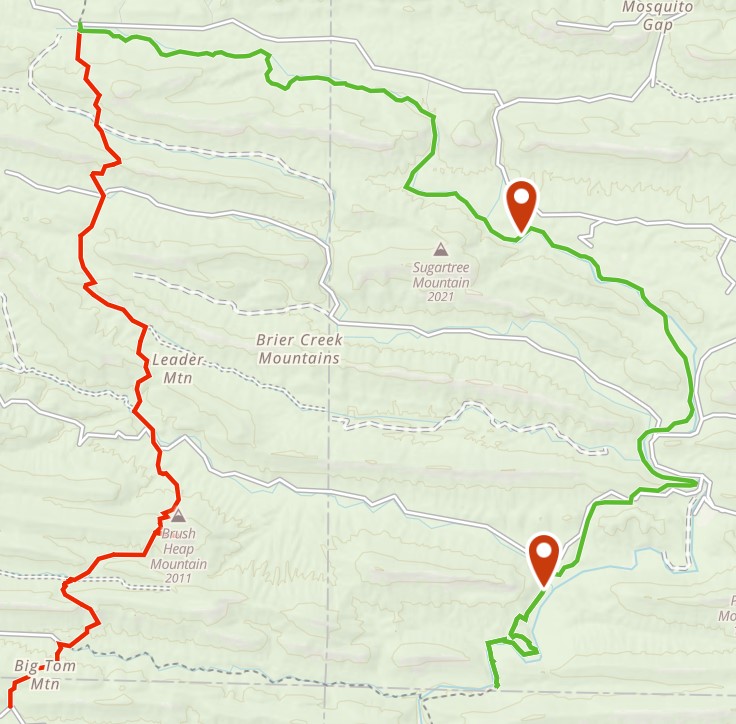
The Hike – For the most part, the trail closely follows the river. There is a hill of a couple hundred feet between Albert Pike and Winding Stairs with a great view, but otherwise its flat.

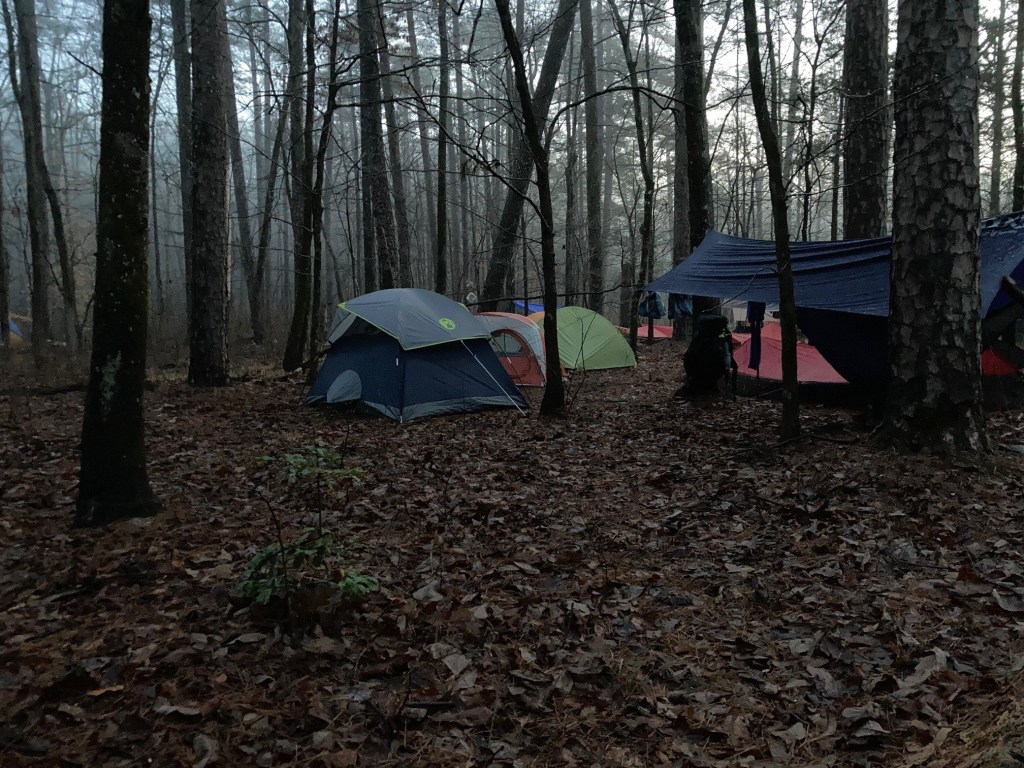
Campsites are informal and abundant.

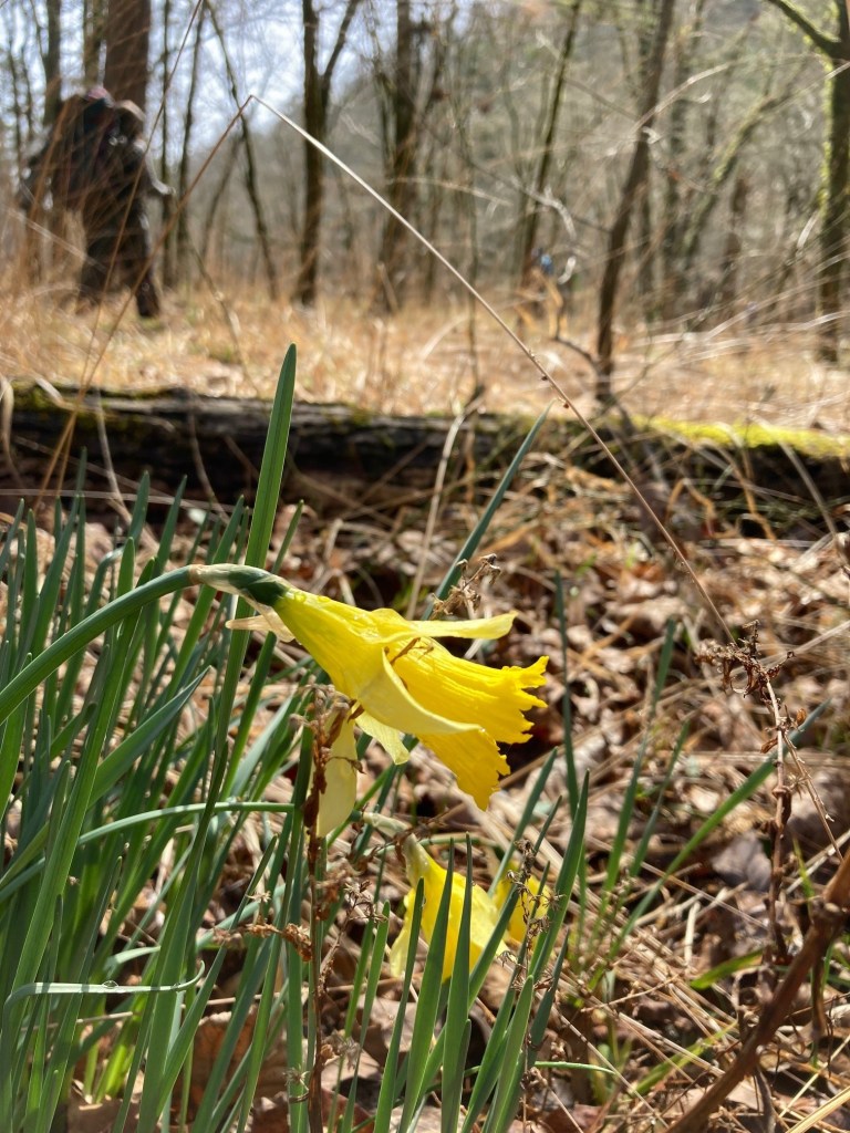
We walked through many old growth groves that, due to the ruggedness of the hills, avoided the axes of the last centuries.
This hike is great for beginning backpackers. Particularly if you hike with kids and a desert hike is not appealing, or you just want to get away from the crowds.
